


Manhattan Block By Block - A Street Atlas
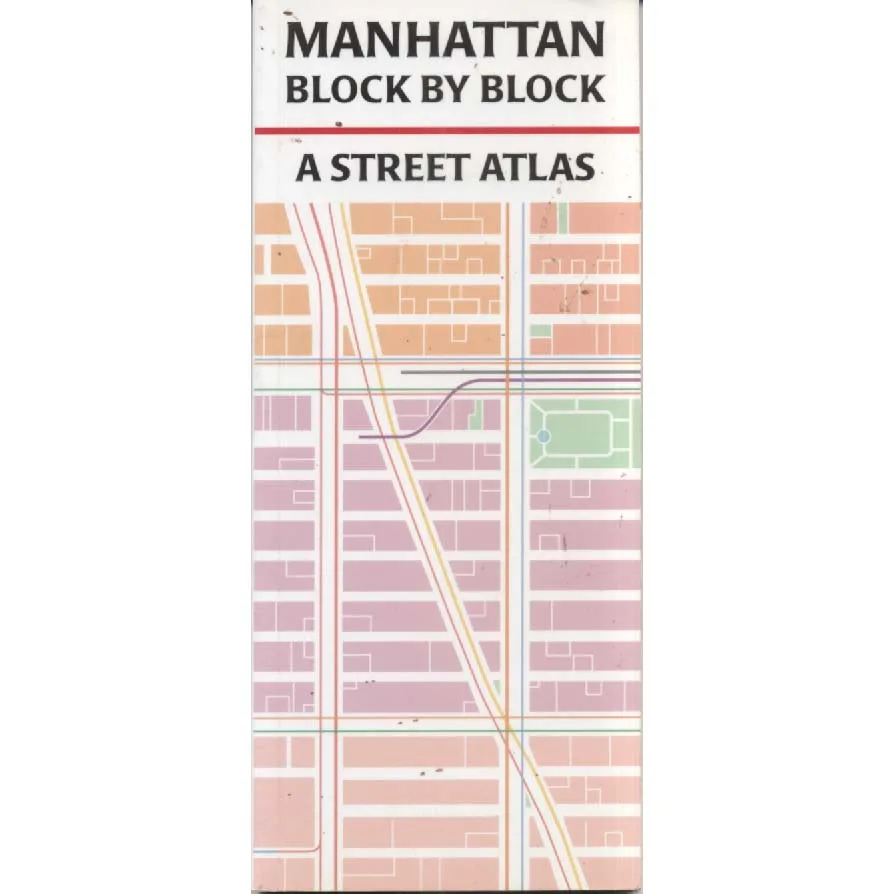
Publisher: Tauranac Maps
Format: Paperback
ISBN: 1878892126
Manhattan Block by Block: A Street Atlas (2000) – John Tauranac
Tauranac Maps | ISBN: 1878892126
Condition: Good | Sold by Crappy Old Books
Manhattan. A magnificent island of soaring skyscrapers, relentless ambition, astronomical property prices and approximately eight million people apparently attempting to cross the same street simultaneously. It is a place where the streets are numbered with reassuring mathematical precision, the avenues stretch towards distant horizons, and a journey of six blocks can take considerably longer than travelling across an entire English county.
Welcome to Manhattan Block by Block: A Street Atlas, John Tauranac’s wonderfully detailed guide to one of the world’s most famous, fascinating and gloriously bewildering urban landscapes.
New York is a city that has always taken geography personally. Its streets, avenues, neighbourhoods and landmarks form an extraordinary patchwork of commerce, culture, history and human ambition, squeezed onto an island whose original inhabitants could scarcely have imagined what would eventually happen to the local skyline.
The Manhattan street grid is one of urban planning’s great achievements, transforming much of the island into an apparently logical arrangement of numbered thoroughfares. Unfortunately, just when the visitor begins feeling confident, Lower Manhattan arrives with its irregular streets, unexpected junctions and charming disregard for the entire concept of straightforward navigation.
John Tauranac, a respected New York mapmaker and urban historian, brings his formidable knowledge of Manhattan to this practical atlas, providing the kind of detailed street-level information that makes exploring the city a considerably less hazardous undertaking.
The appeal of a proper street atlas lies in its precision. Rather than offering an impressionistic suggestion of where something might be, it encourages the reader to examine the actual layout of the city, block by block, identifying the relationship between streets, avenues and the extraordinary density of Manhattan’s built environment.
And Manhattan offers plenty to examine.
From the financial canyons of Wall Street to the theatrical bustle of Broadway, from the elegant avenues of Midtown to the famous expanse of Central Park, every district possesses its own character, history and distinctive contribution to the magnificent chaos that is New York City.
Published in 2000, this atlas also captures Manhattan at a particular moment in its history, before smartphones, satellite navigation and digital mapping applications persuaded modern travellers that navigating a city should require little more than following a blue dot across a screen.
For collectors and urban historians, that date offers an additional attraction: a printed record of the city’s geography around the turn of the millennium, before subsequent redevelopment and changes to the streetscape.
Naturally, a historical street atlas should not be treated as a substitute for current navigation information, particularly in a city whose enthusiasm for construction appears practically limitless.
This 2000 Tauranac Maps edition, offered in Good condition by Crappy Old Books, is an appealing acquisition for enthusiasts of New York City, urban geography, historic cartography, architecture and the disappearing pleasure of navigating with an actual printed map.
A fascinating portrait of Manhattan’s extraordinary street network, combining practical cartography with the irresistible appeal of one of the world’s greatest cities.
Because there is something deeply satisfying about unfolding a proper map, locating your destination and confidently announcing that you know exactly where you are.
Even if, five minutes later, you discover that you’ve been walking along the wrong avenue.
And your destination is now fourteen blocks behind you.
Keep browsing: See more Travel books Other books by John Tauranac
